
About Westros Transit
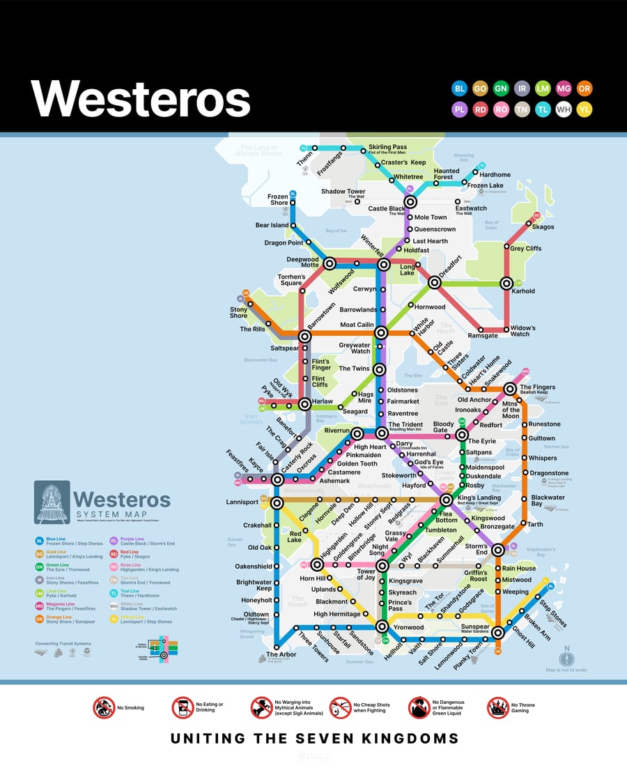
The Westro transit project was the Spring of 308AC with the White Line across the wall and finished in 322AC with the extension of the Blue Line out to the Step Stones.
Westro Metro was conceived by the people of Westeros as a more pragmatic approach for uniting the Seven Kingdoms after the fall of most of the major houses during the Game of Thrones.
What People are Saying
“This could have saved me three books of just walking.”
 Arya S.
“I drink and I know the Westro train schedule.”
 Tyrion L.
“I will shield my Queen's back and keep her counsel and if need be give her my Westros metro card.”
 Brianne T.