

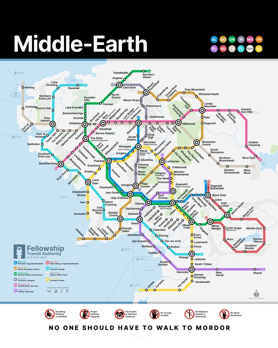
About Middle Earth Transit
The lessons learned – from narrowing resisting darkness overtaking the world at the end of the Third Age – was that there needed to be more expedient means for getting across Middle-Earth than traveling on foot or relying on eagles.
The Middle-Earth Transit initiative began in 3022 just at the onset of the Fourth Age, the dominion of man.
The White Line was the first completed, following the path of the Beacons of Gondor. The project concluded when the Red Line circling Mordor was completed in 3034.
What People are Saying
“I will take the Metro, though I do not know the way.”
 Frodo B.
“Not all those who wander are lost, when they have this new Metro map.”
 Bilbo B.
“All we have to decide is where to take the Metro in the time that is given us.”
 Gandalf G.